Back Strathmore ATJ Strathmore (lungsod sa Kanada) CEB Strathmore (Alberta) German Strathmore, Alberta English Strathmore Esperanto Strathmore (Alberta) Italian Strathmore Kurdish Strathmore (Canada) Dutch Strathmore (Kanada) Polish Strathmore (Alberta) Portuguese
| Strathmore (Alberta) | |

| |
| Administration | |
|---|---|
| Pays | |
| Province | |
| Région | Région de Calgary |
| Subdivision régionale | Wheatland |
| Statut municipal | Ville (town) |
| Maire | Steve Grajczyk |
| Constitution | 1883 |
| Démographie | |
| Population | 14 339 hab. (2021 |
| Densité | 526 hab./km2 |
| Géographie | |
| Coordonnées | 51° 02′ 16″ nord, 113° 24′ 01″ ouest |
| Superficie | 2 728 ha = 27,28 km2 |
| Divers | |
| Langue(s) | Anglais |
| Fuseau horaire | Hiver : HNR (UTC-7) Été : HAR (UTC-6) |
| Indicatif | +1-403 |
| Code géographique | 4805018 |
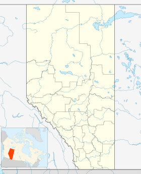
| Localisation | |
| Liens | |
| Site web | http://www.strathmore.ca/ |
| modifier |
|
Srathmore est une ville (town) située le long de la route Transcanadienne dans le Sud de l'Alberta au Canada dans le comté de Wheatland. Elle se situe à environ 40 km à l'est de Calgary[réf. nécessaire].

